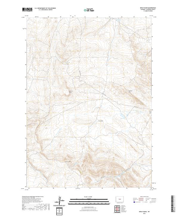
2021 Map of Ervay Basin
USGS Topo · Published 2021About this map
The high plains of Natrona County converge at the Ervay Basin, a landscape defined by intermittent water sources and dramatic landforms. The S Fork Powder River winds through the northern sections of the map, carving a path through the Coalbank Hills and passing through Hoff Gap. This is a territory where water management is critical for the ranching economy, as seen in the presence of Detelder Reservoir, Collins Spring, and JE Sulphur Spring. Distinctive geological features like Maverick Butte and Cyclone Ridge provide navigational landmarks in a region largely accessed by rural routes such as Butler Oil Rd and Co Rd 212. The drainage network includes Cold Camp Cr and W Deer Cr, which support the seasonal hydrologic cycle of this remote Wyoming basin.
Find a feature on this map
20 named features on this map. Tap any name to fly to it.
Don’t see what you’re looking for? This feature index may not catch every label — zoom into the map to look around manually.
Map Details
Editions of this 2021 Ervay Basin Map
This is the sole edition of this map. No revisions or reprints were ever made.
Other maps of this area

1952 · Ervay Basin SW
USGS Topo · 1:24,000

1952 · Arminto SW
USGS Topo · 1:24,000

1952 · Gas Hills
USGS Topo · 1:24,000

1952 · Moneta SE
USGS Topo · 1:24,000

1952 · Miles Ranch
USGS Topo · 1:24,000

1952 · Hiland
USGS Topo · 1:24,000

1952 · Ervay Basin
USGS Topo · 1:24,000

1955 · Arminto
USGS Topo · 1:250,000

1955 · Casper
USGS Topo · 1:250,000

1957 · Miles Ranch
USGS Topo · 1:24,000