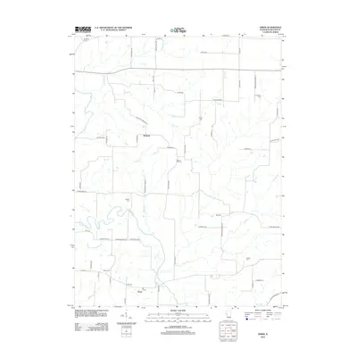
2012 Map of Erwin
USGS Topo · Published 2012About this map
The La Moine River snakes across this corner of Schuyler County, defining a landscape of riparian bottoms and upland agriculture. The small settlement of Erwin sits near the river's southern banks, while Wayland occupies the central prairie to the north. This 2012 survey illustrates a region deeply connected to its ancestral roots, evidenced by a high density of rural burial grounds such as Taggart Cem, Gray Cem, and Marlow Cem that dot the countryside.
Find a feature on this map
60 named features on this map. Tap any name to fly to it.
Don’t see what you’re looking for? This feature index may not catch every label — zoom into the map to look around manually.
Map Details
Editions of this 2012 Erwin Map
This is the sole edition of this map. No revisions or reprints were ever made.
Other maps of this area

1912 · Macomb
USGS Topo · 1:62,500

1913 · Colchester
USGS Topo · 1:62,500

1914 · Macomb
USGS Topo · 1:62,500

1923 · Rushville
USGS Topo · 1:62,500

1926 · Rushville
USGS Topo · 1:62,500

1946 · Augusta
USGS Topo · 1:62,500

1949 · Augusta
USGS Topo · 1:62,500

1958 · Burlington
USGS Topo · 1:250,000

1961 · Burlington
USGS Topo · 1:250,000

1963 · Burlington
USGS Topo · 1:250,000