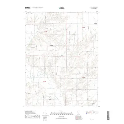
2018 Map of Erwin
USGS Topo · Published 2018About this map
The La Moine River snakes through this portion of Schuyler County, defining a landscape of wooded bluffs and agricultural plateaus. Small rural hubs such as Littleton, Wayland, and Erwin serve as anchors for a network of township roads that follow the section lines and ridgelines. The concentration of family and community burial grounds, including Marlow Cem and Gray Cem near Erwin, as well as White-Oak-Cem and Taggart Cem, provides significant points of interest for genealogical research in this part of Illinois.
Find a feature on this map
68 named features on this map. Tap any name to fly to it.
Don’t see what you’re looking for? This feature index may not catch every label — zoom into the map to look around manually.
Map Details
Editions of this 2018 Erwin Map
This is the sole edition of this map. No revisions or reprints were ever made.
Other maps of this area
1912 · Macomb
USGS Topo · 1:62,500
1913 · Colchester
USGS Topo · 1:62,500
1914 · Macomb
USGS Topo · 1:62,500
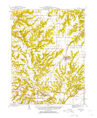
1923 · Rushville
USGS Topo · 1:62,500
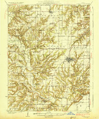
1926 · Rushville
USGS Topo · 1:62,500
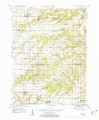
1946 · Augusta
USGS Topo · 1:62,500
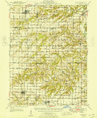
1949 · Augusta
USGS Topo · 1:62,500
1958 · Burlington
USGS Topo · 1:250,000
1961 · Burlington
USGS Topo · 1:250,000
1963 · Burlington
USGS Topo · 1:250,000