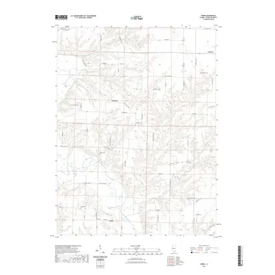
2021 Map of Erwin
USGS Topo · Published 2021About this map
Erwin and the village of Littleton anchor this Schuyler County landscape, where the meandering La Moine River defines the drainage patterns of the western Illinois prairie. The terrain is deeply incised by a network of waterways including Honey Br, Fowler Br, and Brushy Cr, creating a broken topography that has historically shaped the local road network. Genealogists will find a high density of family-named burial sites, such as Blackburn Cem, Taggart Cem, and Hale Cem, which are scattered throughout the agricultural uplands. The rural infrastructure is marked by long-standing landmarks like Greenwell Mill Rd and various local thoroughfares such as Bartlow Rd and Rattlesnake Ranch Rd, illustrating the persistence of early property lines and settlement patterns in this quiet corner of the state.
Find a feature on this map
62 named features on this map. Tap any name to fly to it.
Don’t see what you’re looking for? This feature index may not catch every label — zoom into the map to look around manually.
Map Details
Editions of this 2021 Erwin Map
This is the sole edition of this map. No revisions or reprints were ever made.
Other maps of this area

1912 · Macomb
USGS Topo · 1:62,500

1913 · Colchester
USGS Topo · 1:62,500

1914 · Macomb
USGS Topo · 1:62,500

1923 · Rushville
USGS Topo · 1:62,500

1926 · Rushville
USGS Topo · 1:62,500

1946 · Augusta
USGS Topo · 1:62,500

1949 · Augusta
USGS Topo · 1:62,500

1958 · Burlington
USGS Topo · 1:250,000

1961 · Burlington
USGS Topo · 1:250,000

1963 · Burlington
USGS Topo · 1:250,000