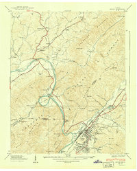
1939 Map of Erwin
USGS Topo · Published 1939About this map
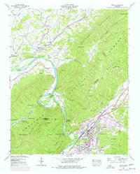
Erwin serves as the focal point for this 1939 survey of the Nolichucky River valley, where the Clinchfield rail line cuts through the foothills of Buffalo Mountain. This era shows a landscape defined by natural resource extraction and early conservation efforts, evidenced by the Embree Iron Co near Bumpass Cove and the Fish Hatchery and Fishery along Indian Creek. Small communities and family landmarks such as Kansas City, Embreeville, and Garland Cem are connected by the John Sevier Highway and the Taylor Bridge. The intricate topography around The Horseshoe and Devils Looking Glass illustrates the complex drainage of Cherokee Creek and its many branches before they reach the main river channel.
Find a feature on this map
89 named features on this map. Tap any name to fly to it.
Don’t see what you’re looking for? This feature index may not catch every label — zoom into the map to look around manually.
Map Details
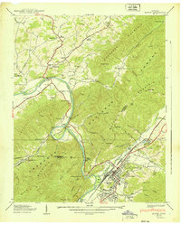
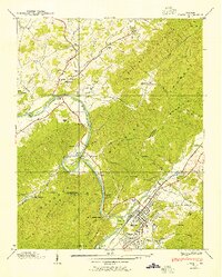
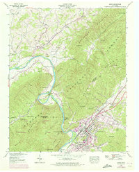
Editions of this 1939 Erwin Map
5 editions found
Other maps of this area

1891 · Roan Mountain
USGS Topo · 1:125,000

1892 · Greeneville
USGS Topo · 1:125,000

1894 · Roan Mountain
USGS Topo · 1:125,000

1896 · Greeneville
USGS Topo · 1:125,000

1904 · Roan Mountain
USGS Topo · 1:125,000

1904 · Greeneville
USGS Topo · 1:125,000

1935 · Chestoa
USGS Topo · 1:24,000

1935 · Leesburg
USGS Topo · 1:24,000

1935 · Erwin
USGS Topo · 1:24,000

1935 · Huntdale
USGS Topo · 1:24,000