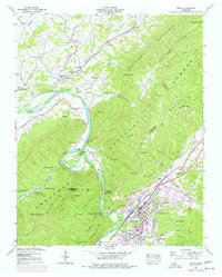
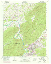
1939 Map of Erwin
USGS Topo · Published 1977About this map
The Clinchfield railroad corridor and the winding course of the Nolichucky River anchor this topographic study of Unicoi and Washington Counties. The town of Erwin sits at the foot of Buffalo Mountain, showing the clustered development of Banner Hill, Lillydale, and Riverview during a period of industrial transition. The landscape is dotted with rural landmarks essential for genealogical research, including the Keplinger Cem, Garland Cem, and Evergreen Cem.
Find a feature on this map
82 named features on this map. Tap any name to fly to it.
Don’t see what you’re looking for? This feature index may not catch every label — zoom into the map to look around manually.
Map Details
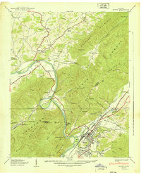
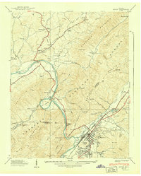
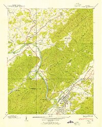
Editions of this 1939 Erwin Map
5 editions found
Other maps of this area

1891 · Roan Mountain
USGS Topo · 1:125,000

1892 · Greeneville
USGS Topo · 1:125,000

1894 · Roan Mountain
USGS Topo · 1:125,000

1896 · Greeneville
USGS Topo · 1:125,000

1904 · Roan Mountain
USGS Topo · 1:125,000

1904 · Greeneville
USGS Topo · 1:125,000

1935 · Chestoa
USGS Topo · 1:24,000

1935 · Leesburg
USGS Topo · 1:24,000

1935 · Erwin
USGS Topo · 1:24,000

1935 · Huntdale
USGS Topo · 1:24,000