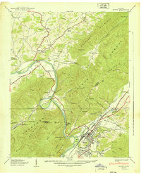
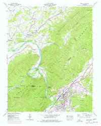
1939 Map of Erwin
USGS Topo · Published 1939About this map
Industrial activity and rugged terrain define this Tennessee landscape, where the Clinchfield railroad cuts through the mountain gaps to reach Erwin. To the west, the Embree Iron Co operations at Bumpass Cove speak to the mining heritage of Unicoi County, while the Nolichucky River carves a dramatic path through The Horseshoe below Embreeville Mountain.
Find a feature on this map
88 named features on this map. Tap any name to fly to it.
Don’t see what you’re looking for? This feature index may not catch every label — zoom into the map to look around manually.
Map Details
Editions of this 1939 Erwin Map
5 editions found
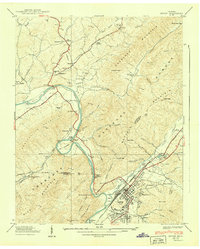
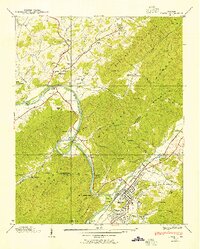
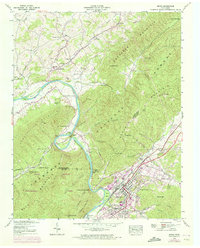
Other maps of this area

1891 · Roan Mountain
USGS Topo · 1:125,000

1892 · Greeneville
USGS Topo · 1:125,000

1894 · Roan Mountain
USGS Topo · 1:125,000

1896 · Greeneville
USGS Topo · 1:125,000

1904 · Roan Mountain
USGS Topo · 1:125,000

1904 · Greeneville
USGS Topo · 1:125,000

1935 · Chestoa
USGS Topo · 1:24,000

1935 · Leesburg
USGS Topo · 1:24,000

1935 · Erwin
USGS Topo · 1:24,000

1935 · Huntdale
USGS Topo · 1:24,000