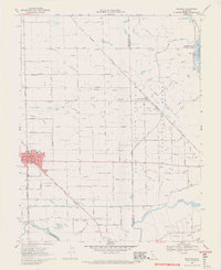
1968 Map of Escalon
USGS Topo · Published 1971About this map
The Southern Pacific railroad corridor anchors the growing agricultural hub of Escalon, where the town's expanding street grid meets the irrigated plains of the Central Valley. This 1968 landscape is defined by an intricate network of waterways, including the South San Joaquin Main Canal and the winding Stanislaus River, which forms the boundary with Stanislaus County. The map provides a look at the transition between historic land grants like El Rancho Del Rio De Los Estanislaus and the modern township-and-range system. For local historians, the sheet preserves the locations of vital community institutions such as Union High Sch, Dent Union Sch, and the isolated Lone Tree Sch. Rural life is further mapped through landmarks like the Valley Home Cem and the small settlement of Valley Home, surrounded by orchard lands and family-named routes such as Fairbanks Rd and Dodds Rd.
Find a feature on this map
57 named features on this map. Tap any name to fly to it.
Don’t see what you’re looking for? This feature index may not catch every label — zoom into the map to look around manually.
Map Details
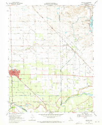
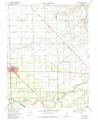
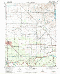
Editions of this 1968 Escalon Map
4 editions found
Other maps of this area

1914 · Avena
USGS Topo · 1:31,680

1915 · Oakdale
USGS Topo · 1:31,680

1915 · Trigo
USGS Topo · 1:31,680

1915 · Peters
USGS Topo · 1:31,680

1915 · Salida
USGS Topo · 1:31,680

1915 · Thalheim
USGS Topo · 1:31,680

1916 · Riverbank
USGS Topo · 1:31,680

1916 · Waterford
USGS Topo · 1:31,680

1916 · Bachelor Valley
USGS Topo · 1:31,680

1939 · Modesto East
USGS Topo · 1:62,500