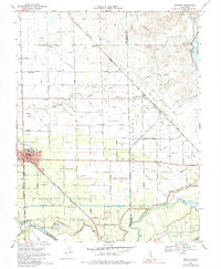
1968 Map of Escalon
USGS Topo · Published 1984About this map
The Escalon community serves as a central hub on this Central Valley landscape, where the Atchison Topeka and Santa Fe and Southern Pacific railroads crisscross a terrain defined by extensive water management. This 1960s environment is intricately carved by an irrigation network including the Main Canal, Dodds Lateral, and the South San Joaquin Main Canal, which support the orchards and fields of the surrounding San Joaquin and Stanislaus counties. Along the Stanislaus River at the southern boundary, the map reveals the transition from agricultural tracts to the riverside at Huntley and Langworth. Genealogists will find several burial grounds documented, such as Valley Home Cem, Burwood Cem, and Langworth Cem, alongside local educational landmarks like Dent Union Sch and Lone Tree Sch.
Find a feature on this map
56 named features on this map. Tap any name to fly to it.
Don’t see what you’re looking for? This feature index may not catch every label — zoom into the map to look around manually.
Map Details
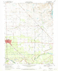
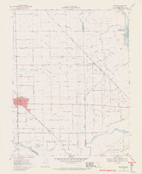
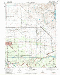
Editions of this 1968 Escalon Map
4 editions found
Other maps of this area

1914 · Avena
USGS Topo · 1:31,680

1915 · Oakdale
USGS Topo · 1:31,680

1915 · Trigo
USGS Topo · 1:31,680

1915 · Peters
USGS Topo · 1:31,680

1915 · Salida
USGS Topo · 1:31,680

1915 · Thalheim
USGS Topo · 1:31,680

1916 · Riverbank
USGS Topo · 1:31,680

1916 · Waterford
USGS Topo · 1:31,680

1916 · Bachelor Valley
USGS Topo · 1:31,680

1939 · Modesto East
USGS Topo · 1:62,500