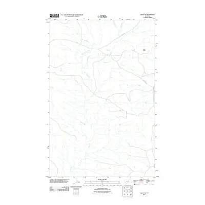
2011 Map of Eskay NE
USGS Topo · Published 2011About this map
Sand Creek and its many tributaries, including Little Sand Creek and the West Fork Sand Creek, define this Chouteau County landscape. The topography is dominated by drainage patterns that cut through the terrain, punctuated by the prominent Echo Butte in the northeast. Human infrastructure in this portion of Montana is sparse, characterized by long-distance routes like Warrick Rd and the Cow Island Trl, the latter of which follows a historically significant path through the region. Water management is evidenced by the Yantighem Dam, situated where the northern drainages converge. This map captures the area as a place of vast open spaces where historical trails and modern local roads provide the only reliable access through the coulees.
Find a feature on this map
7 named features on this map. Tap any name to fly to it.
Don’t see what you’re looking for? This feature index may not catch every label — zoom into the map to look around manually.
Map Details
Editions of this 2011 Eskay NE Map
This is the sole edition of this map. No revisions or reprints were ever made.
Other maps of this area

1953 · Havre
USGS Topo · 1:250,000

1954 · Lewistown
USGS Topo · 1:250,000
1956 · Maddux
USGS Topo · 1:62,500

1957 · Havre
USGS Topo · 1:250,000

1958 · Havre
USGS Topo · 1:250,000

1959 · Lewistown
USGS Topo · 1:250,000
1959 · Warrick
USGS Topo · 1:62,500
1964 · Pigtail Coulee
USGS Topo · 1:24,000
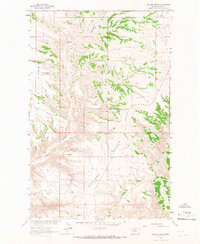
1964 · Ragland Bench
USGS Topo · 1:24,000
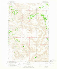
1964 · Chase Hill
USGS Topo · 1:24,000