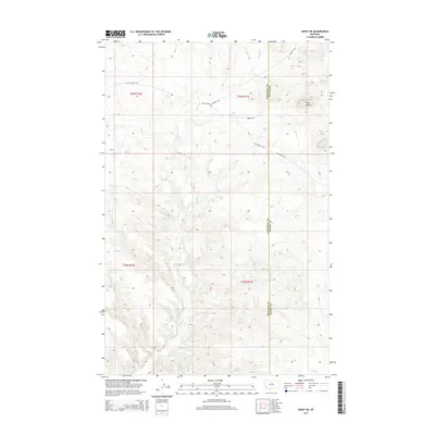
2014 Map of Eskay NE
USGS Topo · Published 2014About this map
Echo Butte stands as the primary landmark in this section of north-central Montana, where the high plains are carved by a network of drainage systems. The landscape is defined by the branching waters of Sand Cr, including Little Sand Cr and the W Fork Sand Cr, which cut through the open terrain of Chouteau and Blaine counties. Historical transit is evident in the path of the Cow Island Trl and Cow Island Rd, routes that historically connected the Missouri River to the interior territories. This 2014 survey documents the enduring physical geography and the sparse network of rural roads like Warrick Rd and Brewer Dr that serve the cattle ranching and farming operations within townships T25N and T26N.
Find a feature on this map
13 named features on this map. Tap any name to fly to it.
Don’t see what you’re looking for? This feature index may not catch every label — zoom into the map to look around manually.
Map Details
Editions of this 2014 Eskay NE Map
This is the sole edition of this map. No revisions or reprints were ever made.
Other maps of this area

1953 · Havre
USGS Topo · 1:250,000

1954 · Lewistown
USGS Topo · 1:250,000

1956 · Maddux
USGS Topo · 1:62,500

1957 · Havre
USGS Topo · 1:250,000

1958 · Havre
USGS Topo · 1:250,000

1959 · Lewistown
USGS Topo · 1:250,000

1959 · Warrick
USGS Topo · 1:62,500

1964 · Pigtail Coulee
USGS Topo · 1:24,000

1964 · Ragland Bench
USGS Topo · 1:24,000

1964 · Chase Hill
USGS Topo · 1:24,000