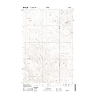
2017 Map of Eskay NE
USGS Topo · Published 2017About this map
Echo Butte rises as a prominent landmark in this sparsely settled region of the Missouri River breaks. The landscape is defined by the drainage systems of Sand Creek and its tributaries, including Little Sand Creek and the West Fork Sand Creek. Historically significant travel ways are etched across the terrain, most notably the Cow Island Trail, which historically connected river traffic to inland destinations. This 2017 survey shows the enduring paths of Warrick Road and Sand Creek Road as they navigate the complex topography near the border of Chouteau County and Blaine County. The map provides a detailed look at the public land survey system, specifically sections within Township 25 and 26 North.
Find a feature on this map
12 named features on this map. Tap any name to fly to it.
Don’t see what you’re looking for? This feature index may not catch every label — zoom into the map to look around manually.
Map Details
Editions of this 2017 Eskay NE Map
This is the sole edition of this map. No revisions or reprints were ever made.
Other maps of this area

1953 · Havre
USGS Topo · 1:250,000

1954 · Lewistown
USGS Topo · 1:250,000

1956 · Maddux
USGS Topo · 1:62,500

1957 · Havre
USGS Topo · 1:250,000

1958 · Havre
USGS Topo · 1:250,000

1959 · Lewistown
USGS Topo · 1:250,000

1959 · Warrick
USGS Topo · 1:62,500

1964 · Pigtail Coulee
USGS Topo · 1:24,000

1964 · Ragland Bench
USGS Topo · 1:24,000

1964 · Chase Hill
USGS Topo · 1:24,000