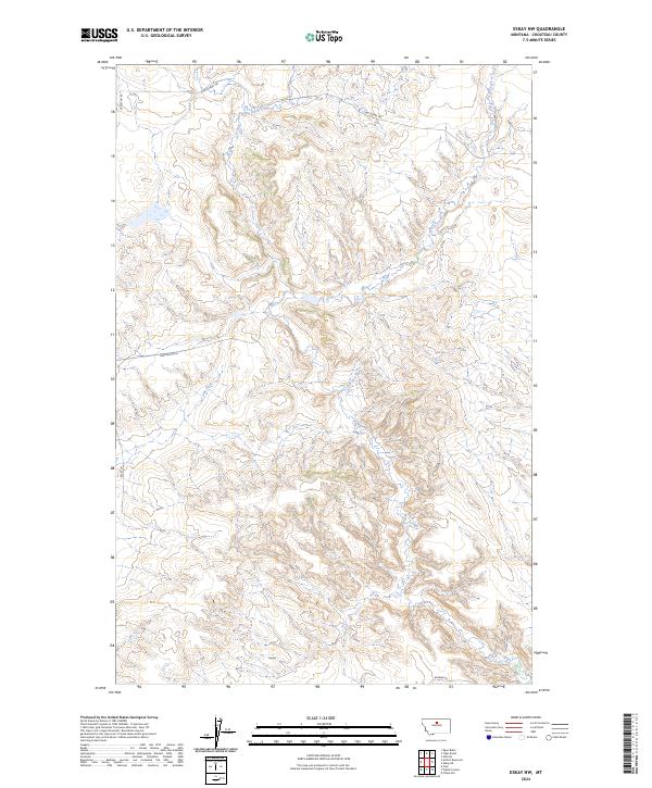
2024 Map of Eskay NW
USGS Topo · Published 2024About this map
Birch Creek and its tributary, Little Birch Creek, define the complex drainage patterns of this Chouteau County landscape. The terrain is characterized by intricate coulees and breaks, where watercourses like Chip Creek have carved deep into the high plains. Human presence is marked primarily by a network of rural routes and historic pathways, most notably the Cow Island Trl. This trail has deep roots in Montana history, serving as a vital overland freighting route during the steamboat era when low water on the Missouri River forced cargo to be offloaded at Cow Island for transport to Fort Benton.
Find a feature on this map
13 named features on this map. Tap any name to fly to it.
Don’t see what you’re looking for? This feature index may not catch every label — zoom into the map to look around manually.
Map Details
Editions of this 2024 Eskay NW Map
This is the sole edition of this map. No revisions or reprints were ever made.
Other maps of this area

1953 · Havre
USGS Topo · 1:250,000

1954 · Iliad
USGS Topo · 1:24,000

1954 · Lewistown
USGS Topo · 1:250,000

1957 · Havre
USGS Topo · 1:250,000

1958 · Havre
USGS Topo · 1:250,000

1959 · Lewistown
USGS Topo · 1:250,000

1959 · Warrick
USGS Topo · 1:62,500

1959 · Centennial Mountain
USGS Topo · 1:62,500

1964 · Pigtail Coulee
USGS Topo · 1:24,000

1964 · Chase Hill
USGS Topo · 1:24,000