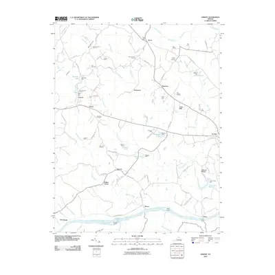
2010 Map of Esmont
USGS Topo · Published 2010About this map
The James River forms the southern boundary of this Albemarle County landscape, where the historic Hattons Ferry provides a rare river-crossing point near Hatton. This 2010 survey shows a region defined by agricultural estates and small crossroads settlements such as Esmont, Keene, and Scottsville. The landscape is dotted with family-named holdings and rural infrastructure, including the Keene Post Office, Dawson Mill, and various ponds like Allmans Pond and Stillfried Pond.
Find a feature on this map
97 named features on this map. Tap any name to fly to it.
Don’t see what you’re looking for? This feature index may not catch every label — zoom into the map to look around manually.
Map Details
Editions of this 2010 Esmont Map
This is the sole edition of this map. No revisions or reprints were ever made.
Other maps of this area

1891 · Palmyra
USGS Topo · 1:125,000

1892 · Buckingham
USGS Topo · 1:125,000

1895 · Palmyra
USGS Topo · 1:125,000

1897 · Palmyra
USGS Topo · 1:125,000

1929 · Covesville
USGS Topo · 1:62,500

1935 · Covesville
USGS Topo · 1:62,500

1943 · Scottsville
USGS Topo · 1:62,500

1945 · Covesville
USGS Topo · 1:62,500

1946 · Scottsville
USGS Topo · 1:62,500

1947 · Roanoke
USGS Topo · 1:250,000