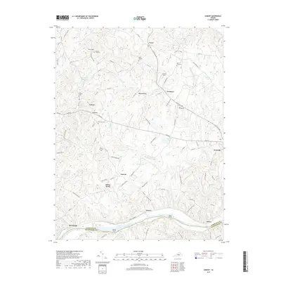
2019 Map of Esmont
USGS Topo · Published 2019About this map
The James River forms a major geographic boundary along the southern edge of this region, separating Albemarle and Buckingham counties and defining the local agricultural landscape. This survey documents a cluster of small settlements and family farms, including Esmont, Porters, and Keene, which are connected by a network of rural roads like Irish Rd and Scottsville Rd. Genealogy researchers will find several notable burial sites such as the Vani Clief Family Cem and the Christ Church Cem near Glendower. The terrain is characterized by the prominent rise of Green Mtn and numerous small watercourses like Ballinger Cr and Rock Castle Cr that feed into the river. Landmarks such as Grayson Airport and the riverside landing at Hatton highlight the mix of aviation and traditional river-valley infrastructure remaining in the late 2010s.
Find a feature on this map
90 named features on this map. Tap any name to fly to it.
Don’t see what you’re looking for? This feature index may not catch every label — zoom into the map to look around manually.
Map Details
Editions of this 2019 Esmont Map
This is the sole edition of this map. No revisions or reprints were ever made.
Other maps of this area

1891 · Palmyra
USGS Topo · 1:125,000

1892 · Buckingham
USGS Topo · 1:125,000

1895 · Palmyra
USGS Topo · 1:125,000

1897 · Palmyra
USGS Topo · 1:125,000

1929 · Covesville
USGS Topo · 1:62,500

1935 · Covesville
USGS Topo · 1:62,500

1943 · Scottsville
USGS Topo · 1:62,500

1945 · Covesville
USGS Topo · 1:62,500

1946 · Scottsville
USGS Topo · 1:62,500

1947 · Roanoke
USGS Topo · 1:250,000