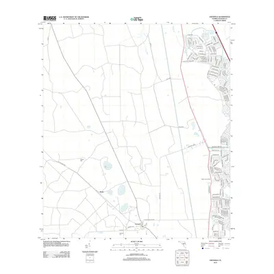
2012 Map of Espanola
USGS Topo · Published 2012About this map
Espanola and Neoga represent the primary points of settlement on this landscape, with the former serving as a local anchor defined by the Espanola Cem and its position along Co RD 13. The area's history is carved into the terrain by an Old Railroad Bed and the Saint Joe Canal, indicating a past dependent on timber or agricultural transport. While the eastern edge of the map shows modern residential development in Palm Coast, the interior remains characterized by native hydrological features. A cluster of small lakes, including Speckled Perch Lake, Neoga Lake, Black Lake, and Tank Lake, dot the lowlands between Honey Hill and the Flagler Lookout Tower. This contrast between the dense street grids of the Matanzas Woods area and the rural, water-logged western reaches provides a clear picture of the region's 21st-century expansion patterns.
Find a feature on this map
128 named features on this map. Tap any name to fly to it.
Don’t see what you’re looking for? This feature index may not catch every label — zoom into the map to look around manually.
Map Details
Editions of this 2012 Espanola Map
This is the sole edition of this map. No revisions or reprints were ever made.
Other maps of this area

1927 · Matanzas
USGS Topo · 1:48,000

1937 · Dinner Island
USGS Topo · 1:48,000

1937 · Ormond
USGS Topo · 1:48,000

1943 · Dinner Island
USGS Topo · 1:62,500

1943 · Matanzas
USGS Topo · 1:62,500

1944 · Ormond
USGS Topo · 1:62,500

1944 · Dinner Island
USGS Topo · 1:62,500

1944 · Matanzas
USGS Topo · 1:62,500

1954 · Daytona Beach
USGS Topo · 1:250,000

1956 · Dinner Island NE
USGS Topo · 1:24,000