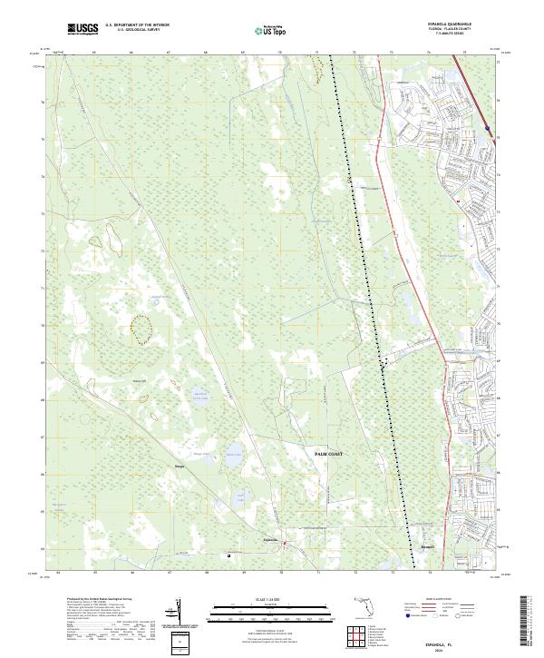
2024 Map of Espanola
USGS Topo · Published 2024About this map
The Fec Rr corridor anchors this landscape, serving as a historic spine for the settlements of Bunnell, Espanola, and Neoga. This territory is characterized by a complex network of wetlands and small water bodies, including Hulett Swamp and the Big Cypress Swamp, which have historically dictated the placement of roads and homesteads. The Espanola Cem provides a specific point of interest for genealogists tracing early families in the Flagler County interior.
Find a feature on this map
99 named features on this map. Tap any name to fly to it.
Don’t see what you’re looking for? This feature index may not catch every label — zoom into the map to look around manually.
Map Details
Editions of this 2024 Espanola Map
This is the sole edition of this map. No revisions or reprints were ever made.
Other maps of this area

1927 · Matanzas
USGS Topo · 1:48,000

1937 · Dinner Island
USGS Topo · 1:48,000

1937 · Ormond
USGS Topo · 1:48,000

1943 · Dinner Island
USGS Topo · 1:62,500

1943 · Matanzas
USGS Topo · 1:62,500

1944 · Ormond
USGS Topo · 1:62,500

1944 · Dinner Island
USGS Topo · 1:62,500

1944 · Matanzas
USGS Topo · 1:62,500

1954 · Daytona Beach
USGS Topo · 1:250,000

1956 · Dinner Island NE
USGS Topo · 1:24,000