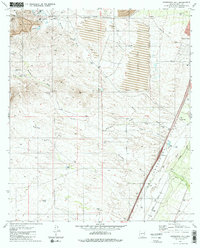
1981 Map of Esperanza Mill
USGS Topo · Published 1981About this map
Industrial mineral extraction and ranching history converge within the San Ignacio de la Canoa land grant. The massive footprint of the Sierrita Mine and its accompanying Mine Dump dominate the northwestern terrain, supported by the Esperanza Mill and a sprawling Tailings Pond. This landscape of high-output copper mining is interconnected by a specialized transportation network, including the Duval Mine Road and a Southern Pacific rail line that parallels the Santa Cruz River valley.
Find a feature on this map
39 named features on this map. Tap any name to fly to it.
Don’t see what you’re looking for? This feature index may not catch every label — zoom into the map to look around manually.
Map Details
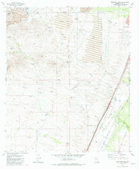
Editions of this 1981 Esperanza Mill Map
2 editions found
Other maps of this area

1904 · Patagonia
USGS Topo · 1:125,000

1905 · Patagonia
USGS Topo · 1:125,000

1920 · Arivaca
USGS Topo · 1:125,000

1922 · Agus Caliente
USGS Topo · 1:62,500

1925 · Samaniego Peak
USGS Topo · 1:62,500

1926 · Helvetia
USGS Topo · 1:62,500

1939 · Twin Buttes
USGS Topo · 1:62,500

1939 · Tubac
USGS Topo · 1:62,500

1941 · Twin Buttes
USGS Topo · 1:62,500

1943 · Tubac
USGS Topo · 1:62,500