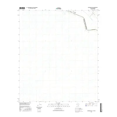
2016 Map of Esperanza OE S
USGS Topo · Published 2016About this map
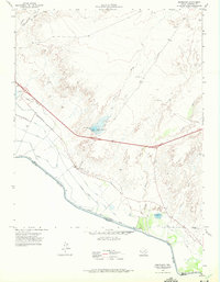
The Rio Grande cuts through this arid landscape in Hudspeth Co, defining the international boundary between Texas and Mexico. This 2016 survey documents a sparse and rugged portion of the borderlands where the river’s winding course is the primary geographical feature. The natural drainage of Arroyo Balluco meets the northern bank, while the engineered Dave Gill Canal reflects the ongoing necessity of water management in this desert environment. Human infrastructure is minimal, centered largely on the path of Ranch Rd 192 as it follows the general trajectory of the river valley. The map provides a precise look at the modern topography of the United States and Mexico border, illustrating the intersection of natural river hydrology and cross-border geography.
Find a feature on this map
7 named features on this map. Tap any name to fly to it.
Don’t see what you’re looking for? This feature index may not catch every label — zoom into the map to look around manually.
Map Details
Editions of this 2016 Esperanza OE S Map
This is the sole edition of this map. No revisions or reprints were ever made.
Other maps of this area

1894 · Fort Hancock
USGS Topo · 1:125,000

1943 · Fort Quitman
USGS Topo · 1:62,500
1943 · McNary
USGS Topo · 1:62,500

1954 · Van Horn
USGS Topo · 1:250,000

1958 · Van Horn
USGS Topo · 1:250,000

1959 · Marfa
USGS Topo · 1:250,000

1965 · Marfa
USGS Topo · 1:250,000
1972 · Silver King Canyon
USGS Topo · 1:24,000
1972 · McNary
USGS Topo · 1:24,000
1972 · Esperanza
USGS Topo · 1:24,000