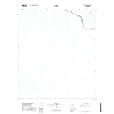
2019 Map of Esperanza OE S
USGS Topo · Published 2019About this map
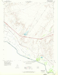
The Rio Grande serves as the defining international boundary along the northeastern edge of this Hudspeth County quadrangle, separating the United States of America from Mexico. The landscape is dominated by the arid desert terrain of the Trans-Pecos, where numerous unnamed dry washes drain towards the river valley. Infrastructure is concentrated in the corner of the American side, where Ranch Rd 192 provides transit parallel to the water. The presence of the Dave Gill Canal and the natural drainage of Arroyo Balluco illustrate the vital importance of water management and natural hydrology in this borderland region. While the interior remains largely undeveloped, these features highlight the historic and modern reliance on the river corridor for transportation and irrigation.
Find a feature on this map
5 named features on this map. Tap any name to fly to it.
Don’t see what you’re looking for? This feature index may not catch every label — zoom into the map to look around manually.
Map Details
Editions of this 2019 Esperanza OE S Map
This is the sole edition of this map. No revisions or reprints were ever made.
Other maps of this area

1894 · Fort Hancock
USGS Topo · 1:125,000

1943 · Fort Quitman
USGS Topo · 1:62,500
1943 · McNary
USGS Topo · 1:62,500

1954 · Van Horn
USGS Topo · 1:250,000

1958 · Van Horn
USGS Topo · 1:250,000

1959 · Marfa
USGS Topo · 1:250,000

1965 · Marfa
USGS Topo · 1:250,000
1972 · Silver King Canyon
USGS Topo · 1:24,000
1972 · McNary
USGS Topo · 1:24,000
1972 · Esperanza
USGS Topo · 1:24,000