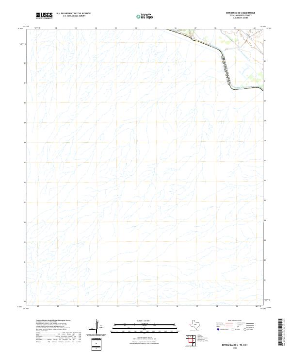
2022 Map of Esperanza OE S
USGS Topo · Published 2022About this map
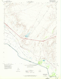
The Rio Grande serves as the international boundary between the United States of America and Estados Unidos Mexicanos at this remote stretch of the border. In this desert landscape, water management is the primary marker of human activity, defined by the presence of the Dave Gill Canal and its associated irrigation infrastructure in the far northeastern corner. This specialized hydraulic system supports the limited agricultural potential of the arid Hudspeth County terrain, while Ranch Rd 192 provides the only significant land-based transportation artery through the area. The map illustrates a landscape of intermittent drainage patterns and dry washes that dominate the interior, emphasizing the isolation and environmental challenges of this borderland region.
Find a feature on this map
4 named features on this map. Tap any name to fly to it.
Don’t see what you’re looking for? This feature index may not catch every label — zoom into the map to look around manually.
Map Details
Editions of this 2022 Esperanza OE S Map
This is the sole edition of this map. No revisions or reprints were ever made.
Other maps of this area

1894 · Fort Hancock
USGS Topo · 1:125,000

1943 · Fort Quitman
USGS Topo · 1:62,500
1943 · McNary
USGS Topo · 1:62,500

1954 · Van Horn
USGS Topo · 1:250,000

1958 · Van Horn
USGS Topo · 1:250,000

1959 · Marfa
USGS Topo · 1:250,000

1965 · Marfa
USGS Topo · 1:250,000
1972 · Silver King Canyon
USGS Topo · 1:24,000
1972 · McNary
USGS Topo · 1:24,000
1972 · Esperanza
USGS Topo · 1:24,000