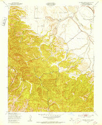
1949 Map of Espinosa Canyon
USGS Topo · Published 1953About this map
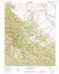
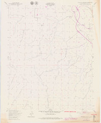
The Salinas River carves through this Monterey County landscape, serving as a vital artery through the agricultural and ranching lands of San Benito and San Lucas. This 1949 survey illustrates the rugged system of drainages that feed the river valley, including the prominent Espinosa Canyon and Broadhurst Canyon. The map reveals a working landscape dotted with numerous Windmills, which were essential for sustaining livestock and human habitation in the arid terrain between Robinson Canyon and the San Bernardo (Soberanes) land grant area.
Find a feature on this map
25 named features on this map. Tap any name to fly to it.
Don’t see what you’re looking for? This feature index may not catch every label — zoom into the map to look around manually.
Map Details
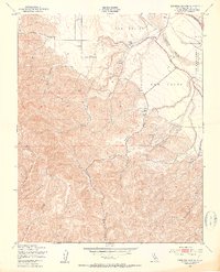
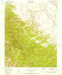
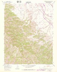
Editions of this 1949 Espinosa Canyon Map
6 editions found
Other maps of this area

1912 · San Ardo
USGS Topo · 1:31,680

1915 · Priest Valley
USGS Topo · 1:125,000

1919 · King City
USGS Topo · 1:62,500

1919 · Bryson
USGS Topo · 1:62,500

1919 · Bradley
USGS Topo · 1:62,500

1939 · King City
USGS Topo · 1:62,500

1941 · San Ardo
USGS Topo · 1:62,500

1941 · Bradley
USGS Topo · 1:62,500

1941 · Bryson
USGS Topo · 1:62,500

1942 · Bryson
USGS Topo · 1:62,500