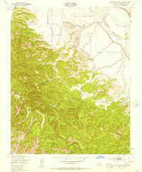
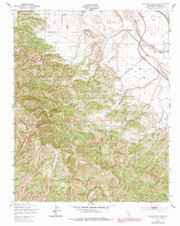
1949 Map of Espinosa Canyon
USGS Topo · Published 1957About this map
The Salinas River meanders across the northeastern corner of this territory, where the valley floor meets the intricate drainage systems of the southern Coast Ranges. This 1949 survey illustrates the land divisions of San Lucas, San Benito, and San Bernardo (Soberanes), reflecting the deep-rooted ranching and land grant history of Monterey County. The Southern Pacific railroad runs parallel to the river, anchoring the valley's transport corridor.
Find a feature on this map
24 named features on this map. Tap any name to fly to it.
Don’t see what you’re looking for? This feature index may not catch every label — zoom into the map to look around manually.
Map Details
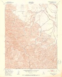
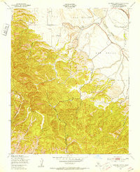
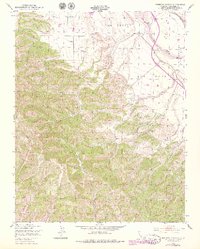
Editions of this 1949 Espinosa Canyon Map
6 editions found
Other maps of this area

1912 · San Ardo
USGS Topo · 1:31,680

1915 · Priest Valley
USGS Topo · 1:125,000

1919 · King City
USGS Topo · 1:62,500

1919 · Bryson
USGS Topo · 1:62,500

1919 · Bradley
USGS Topo · 1:62,500

1939 · King City
USGS Topo · 1:62,500

1941 · San Ardo
USGS Topo · 1:62,500

1941 · Bradley
USGS Topo · 1:62,500

1941 · Bryson
USGS Topo · 1:62,500

1942 · Bryson
USGS Topo · 1:62,500