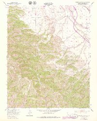
1949 Map of Espinosa Canyon
USGS Topo · Published 1979About this map
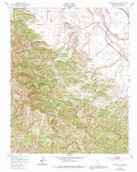
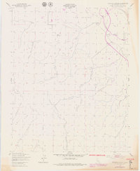
The Salinas River valley dominates the northeast corner of this Monterey County landscape, where the Southern Pacific railroad follows the river's bend toward the southern interior. The map documents a transition from the level agricultural and transit corridors of the San Lucas and San Bernardo (Soberanes) land grants into the complex drainage systems to the west. This rugged backcountry is defined by a dense network of named draws including Seven Well Canyon, Feliz Canyon, and Espinosa Canyon. Local history and family genealogy are etched into the terrain through names like McConnell Canyon, Broadhurst Canyon, and Loridon Canyon, which mark the remote canyons where early settlers established homesteads and grazing lands. Numerous windmills are scattered across the hillsides, indicating the essential role of groundwater management for ranching operations in these high-relief areas above the river plains.
Find a feature on this map
17 named features on this map. Tap any name to fly to it.
Don’t see what you’re looking for? This feature index may not catch every label — zoom into the map to look around manually.
Map Details
Editions of this 1949 Espinosa Canyon Map
6 editions found
Other maps of this area

1912 · San Ardo
USGS Topo · 1:31,680

1915 · Priest Valley
USGS Topo · 1:125,000

1919 · King City
USGS Topo · 1:62,500

1919 · Bryson
USGS Topo · 1:62,500

1919 · Bradley
USGS Topo · 1:62,500

1939 · King City
USGS Topo · 1:62,500

1941 · San Ardo
USGS Topo · 1:62,500

1941 · Bradley
USGS Topo · 1:62,500

1941 · Bryson
USGS Topo · 1:62,500

1942 · Bryson
USGS Topo · 1:62,500