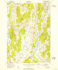
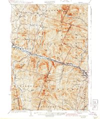
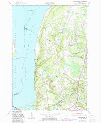
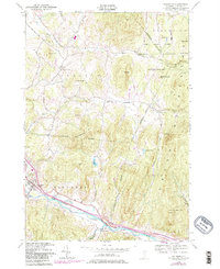
1948 Map of Essex Center
USGS Topo · Published 1953This historical map portrays the area of Essex Center in 1948, primarily covering Chittenden County. Featuring a scale of 1:24000, this map provides a highly detailed snapshot of the terrain, roads, buildings, counties, and historical landmarks in the Essex Center region at the time. Published in 1953, it is one of 4 known editions of this map due to revisions or reprints.
Find a feature on this map
30 named features on this map. Tap any name to fly to it.
Don’t see what you’re looking for? This feature index may not catch every label — zoom into the map to look around manually.
Map Details
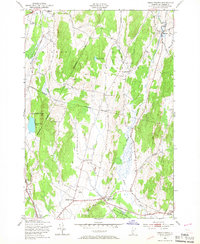
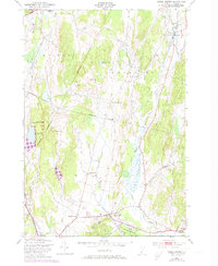
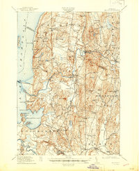
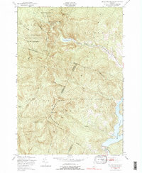
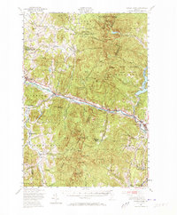
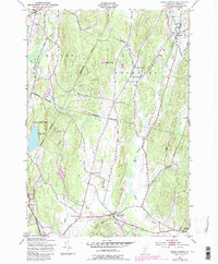
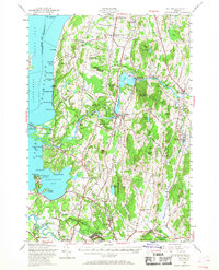
Editions of this 1948 Essex Center Map
4 editions found
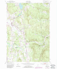
Historical Maps of Jericho Through Time
16 maps found

1913 Milton
Chittenden County, VT
1915 Milton
Chittenden County, VT

1921 Richmond
Chittenden County, VT
1924 Camels Hump
Chittenden County, VT

1944 Camels Hump
Chittenden County, VT

1944 Milton
Chittenden County, VT
1948 Bolton Mountain
Chittenden County, VT
1948 Camels Hump
Chittenden County, VT

1948 Colchester
Chittenden County, VT
1948 Essex Center
Chittenden County, VT
1948 Georgia Plains
Chittenden County, VT
1948 Hinesburg
Chittenden County, VT
1948 Milton
Chittenden County, VT
1948 Mount Philo
Chittenden County, VT
1948 Richmond
Chittenden County, VT
1948 Underhill
Chittenden County, VT