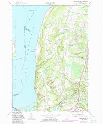
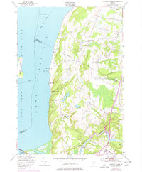
1948 Map of Georgia Plains
USGS Topo · Published 1987About this map
The eastern shores of Lake Champlain define this landscape, where the transition from the lakefront to the inland hills of Georgia and Milton is marked by a series of seasonal camps and established crossroads. The shoreline is dotted with summer destinations such as Camp Rich, Camp Watson, and Algonquin Camp, reflecting the region's mid-century recreational character. Inland, the agricultural and social centers of Miltonboro and Georgia Plains anchor the interior, connected by winding watercourses like Stone Bridge Brook. To the south, the Lamoille River meanders toward the lake, passing the settlement of West Milton and the unique cluster of Checkerberry Village. Local education history is preserved through the locations of several rural schoolhouses, including School No 8 and Silvertown Sch, while the Sand Bar State Park and Sand Bar National Waterfowl Management Area indicate the preservation of the Lamoille delta.
Find a feature on this map
47 named features on this map. Tap any name to fly to it.
Don’t see what you’re looking for? This feature index may not catch every label — zoom into the map to look around manually.
Map Details
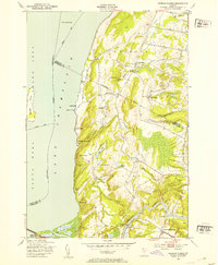
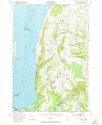
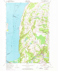
Editions of this 1948 Georgia Plains Map
5 editions found
Other maps of this area

1894 · Plattsburg
USGS Topo · 1:62,500

1895 · Rouse Point
USGS Topo · 1:62,500

1906 · Plattsburg
USGS Topo · 1:62,500

1907 · Rouse Point
USGS Topo · 1:62,500

1913 · Milton
USGS Topo · 1:48,000

1914 · St. Albans
USGS Topo · 1:48,000

1915 · Milton
USGS Topo · 1:62,500

1916 · St. Albans
USGS Topo · 1:62,500

1939 · Rouses Point
USGS Topo · 1:62,500

1939 · Plattsburg
USGS Topo · 1:62,500