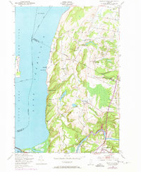
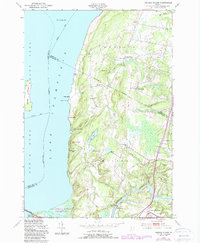
1948 Map of Georgia Plains
USGS Topo · Published 1973About this map
Lake Champlain dominates the western shoreline of this Vermont landscape, where the waters meet the rural transition of Franklin and Chittenden counties. During the mid-twentieth century, this region was defined by a mix of agricultural hamlets and seasonal lakefront activity. The shoreline is dotted with established summer sites such as Camp Rich, Camp Watson, and Algonquin Camp, reflecting the area's development as a destination for outdoor recreation. Inland, the map reveals the layout of rural education and small-town centers including Silvertown Sch and Checkerberry Village.
Find a feature on this map
49 named features on this map. Tap any name to fly to it.
Don’t see what you’re looking for? This feature index may not catch every label — zoom into the map to look around manually.
Map Details
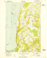
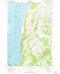
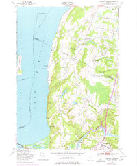
Editions of this 1948 Georgia Plains Map
5 editions found
Other maps of this area

1894 · Plattsburg
USGS Topo · 1:62,500

1895 · Rouse Point
USGS Topo · 1:62,500

1906 · Plattsburg
USGS Topo · 1:62,500

1907 · Rouse Point
USGS Topo · 1:62,500

1913 · Milton
USGS Topo · 1:48,000

1914 · St. Albans
USGS Topo · 1:48,000

1915 · Milton
USGS Topo · 1:62,500

1916 · St. Albans
USGS Topo · 1:62,500

1939 · Rouses Point
USGS Topo · 1:62,500

1939 · Plattsburg
USGS Topo · 1:62,500