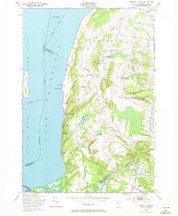
1948 Map of Georgia Plains
USGS Topo · Published 1972About this map
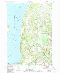
Lake Champlain defines the western edge of this 1940s landscape, where the Sand Bar Bridge connects the mainland to Savage Island and beyond. The shoreline is a dense network of summer recreation and early 20th-century camps, including Camp Rich, Eagle Mountain Camp, and Algonquin Camp, tucked below the heights of Eagle Mountain. Inland, the agricultural and social life of the region is anchored by scattered schoolhouses like Silvertown Sch and School No 8, alongside small rural hubs such as Miltonboro and Georgia Plains.
Find a feature on this map
42 named features on this map. Tap any name to fly to it.
Don’t see what you’re looking for? This feature index may not catch every label — zoom into the map to look around manually.
Map Details
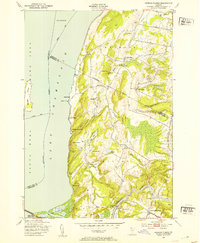
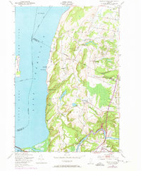
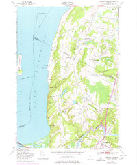
Editions of this 1948 Georgia Plains Map
5 editions found
Other maps of this area

1894 · Plattsburg
USGS Topo · 1:62,500

1895 · Rouse Point
USGS Topo · 1:62,500

1906 · Plattsburg
USGS Topo · 1:62,500

1907 · Rouse Point
USGS Topo · 1:62,500

1913 · Milton
USGS Topo · 1:48,000

1914 · St. Albans
USGS Topo · 1:48,000

1915 · Milton
USGS Topo · 1:62,500

1916 · St. Albans
USGS Topo · 1:62,500

1939 · Rouses Point
USGS Topo · 1:62,500

1939 · Plattsburg
USGS Topo · 1:62,500