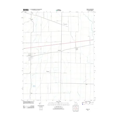
2012 Map of Essex
USGS Topo · Published 2012About this map
Essex and its surrounding agricultural landscape in Stoddard County are defined by a meticulous grid of rural roads and drainage features characteristic of the Missouri Bootheel. The topography is notably flat, dominated by the winding course of Bess Slough and the Upper Castor River on the eastern edge. Local genealogy and history are anchored by the Bluff Hill Cemetery in the north and a network of small settlements including Grayridge, Hunterville, and Circle City.
Find a feature on this map
48 named features on this map. Tap any name to fly to it.
Don’t see what you’re looking for? This feature index may not catch every label — zoom into the map to look around manually.
Map Details
Editions of this 2012 Essex Map
This is the sole edition of this map. No revisions or reprints were ever made.
Other maps of this area

1931 · Sikeston
USGS Topo · 1:62,500

1934 · Bloomfield
USGS Topo · 1:62,500

1934 · Sikeston
USGS Topo · 1:62,500

1939 · Bloomfield
USGS Topo · 1:62,500

1939 · Sikeston
USGS Topo · 1:62,500

1939 · New Madrid
USGS Topo · 1:62,500

1940 · Malden
USGS Topo · 1:62,500

1949 · Bloomfield
USGS Topo · 1:62,500

1954 · New Madrid
USGS Topo · 1:62,500

1956 · Malden
USGS Topo · 1:62,500