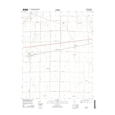
2015 Map of Essex
USGS Topo · Published 2015About this map
Bess Slough and Lateral Number 4 define the low-lying agricultural landscape of Stoddard County, where a network of drainage ditches supports the surrounding fields. The town of Essex serves as a central hub in this grid of county roads, with smaller communities like Hunterville, Grayridge, and Circle City spaced along the transport corridors. The map details a transition from the structured farm plots near Penermon to the more varied terrain around Clines Island in the northeast.
Find a feature on this map
73 named features on this map. Tap any name to fly to it.
Don’t see what you’re looking for? This feature index may not catch every label — zoom into the map to look around manually.
Map Details
Editions of this 2015 Essex Map
This is the sole edition of this map. No revisions or reprints were ever made.
Other maps of this area

1931 · Sikeston
USGS Topo · 1:62,500

1934 · Bloomfield
USGS Topo · 1:62,500

1934 · Sikeston
USGS Topo · 1:62,500

1939 · Bloomfield
USGS Topo · 1:62,500

1939 · Sikeston
USGS Topo · 1:62,500

1939 · New Madrid
USGS Topo · 1:62,500

1940 · Malden
USGS Topo · 1:62,500

1949 · Bloomfield
USGS Topo · 1:62,500

1954 · New Madrid
USGS Topo · 1:62,500

1956 · Malden
USGS Topo · 1:62,500