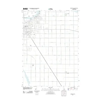
2011 Map of Essexville
USGS Topo · Published 2011About this map
Industrial facilities and maritime operations define the riverfront in Essexville and the eastern edge of Bay City. The Saginaw River serves as a central artery for commerce, supporting the Aetna Cement Corporation, Dow Chemical Refining, and multiple petroleum companies like the Amoco Oil Company. Navigation is aided by the Essexville Ridge Lights and the Independence Bridge which spans the water to the west.
Find a feature on this map
105 named features on this map. Tap any name to fly to it.
Don’t see what you’re looking for? This feature index may not catch every label — zoom into the map to look around manually.
Map Details
Editions of this 2011 Essexville Map
This is the sole edition of this map. No revisions or reprints were ever made.
Other maps of this area

1916 · Bay City
USGS Topo · 1:62,500

1919 · Bay City
USGS Topo · 1:62,500

1919 · Saginaw
USGS Topo · 1:62,500

1941 · Saginaw
USGS Topo · 1:62,500

1943 · Bay City
USGS Topo · 1:62,500

1943 · Saginaw
USGS Topo · 1:62,500

1954 · Flint
USGS Topo · 1:250,000

1958 · Flint
USGS Topo · 1:250,000

1963 · Quanicassee
USGS Topo · 1:24,000

1963 · Reese
USGS Topo · 1:24,000