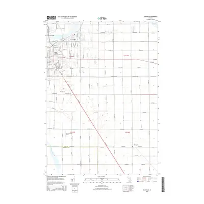
2014 Map of Essexville
USGS Topo · Published 2014About this map
The Saginaw River forms the industrial and geographic spine of this coastal region as it flows toward Saginaw Bay. The city of Essexville and the eastern portions of Bay City dominate the northwestern corner, characterized by a dense grid of streets and key crossings like the Independence Bridge. Moving south and east, the urban landscape transitions into a systematic drainage network essential for the low-lying terrain, featuring the Trombley Drain, Douglas Drain, and Cheboyganing Cr. This area is remarkably dense with burial sites for genealogists, including Pine Ridge Cem, Saint Patrick Cem, and the Polish Cem. Further south, the settlement of Munger sits amidst a structured agricultural landscape, while the Kenneth Hayward Airport serves as a modern transportation landmark for the county.
Find a feature on this map
76 named features on this map. Tap any name to fly to it.
Don’t see what you’re looking for? This feature index may not catch every label — zoom into the map to look around manually.
Map Details
Editions of this 2014 Essexville Map
This is the sole edition of this map. No revisions or reprints were ever made.
Other maps of this area

1916 · Bay City
USGS Topo · 1:62,500

1919 · Bay City
USGS Topo · 1:62,500

1919 · Saginaw
USGS Topo · 1:62,500

1941 · Saginaw
USGS Topo · 1:62,500

1943 · Bay City
USGS Topo · 1:62,500

1943 · Saginaw
USGS Topo · 1:62,500

1954 · Flint
USGS Topo · 1:250,000

1958 · Flint
USGS Topo · 1:250,000

1963 · Quanicassee
USGS Topo · 1:24,000

1963 · Reese
USGS Topo · 1:24,000