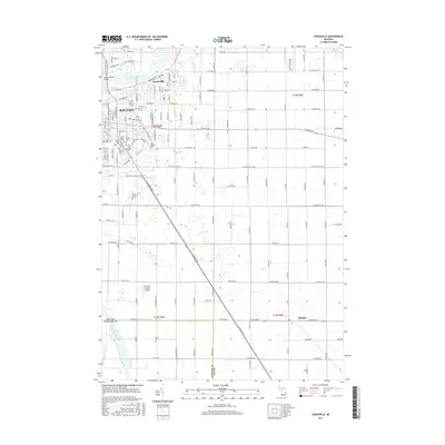
2017 Map of Essexville
USGS Topo · Published 2017About this map
The Saginaw River flows northwest toward Saginaw Bay, anchoring this 2017 survey of the bustling riverfront and agricultural hinterlands. The urban core of Bay City and Essexville is marked by a dense network of residential streets and industrial corridors, connected by the Independence Bridge. This area is particularly notable for its concentrated cluster of cemeteries, including Saint Stanislaus Cem, Saint Patrick Cem, and Elm Lawn Cem, reflecting the deep-rooted community heritage of the region.
Find a feature on this map
165 named features on this map. Tap any name to fly to it.
Don’t see what you’re looking for? This feature index may not catch every label — zoom into the map to look around manually.
Map Details
Editions of this 2017 Essexville Map
This is the sole edition of this map. No revisions or reprints were ever made.
Other maps of this area

1916 · Bay City
USGS Topo · 1:62,500

1919 · Bay City
USGS Topo · 1:62,500

1919 · Saginaw
USGS Topo · 1:62,500

1941 · Saginaw
USGS Topo · 1:62,500

1943 · Bay City
USGS Topo · 1:62,500

1943 · Saginaw
USGS Topo · 1:62,500

1954 · Flint
USGS Topo · 1:250,000

1958 · Flint
USGS Topo · 1:250,000

1963 · Quanicassee
USGS Topo · 1:24,000

1963 · Reese
USGS Topo · 1:24,000