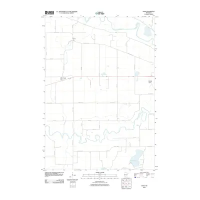
2010 Map of Essig
USGS Topo · Published 2010About this map
The Minnesota River and Cottonwood River wind through the agricultural landscape of Brown County, framing the small settlement of Essig. This early 21st-century survey documents a region defined by its waterway-driven geography and its commitment to local memory, notably marked by the Milford Monument near County Ditch Number Fiftyone. The transit network is a grid of rural routes including County Hwy-29 and KC Rd, which connect family farms to the central hub at Essig Post Office. At the eastern edge, the New Ulm Municipal Airport signals the modern connectivity of this prairie landscape. The southern reaches are dotted with natural basins like Clear Lake and School Lake, reflecting the post-glacial topography common to the Minnesota river valley. The map preserves a moment when traditional land management and historical commemoration remain central to the community's identity.
Find a feature on this map
35 named features on this map. Tap any name to fly to it.
Don’t see what you’re looking for? This feature index may not catch every label — zoom into the map to look around manually.
Map Details
Editions of this 2010 Essig Map
This is the sole edition of this map. No revisions or reprints were ever made.
Other maps of this area

1953 · New Ulm
USGS Topo · 1:250,000

1957 · New Ulm
USGS Topo · 1:250,000

1958 · New Ulm
USGS Topo · 1:250,000

1964 · New Ulm
USGS Topo · 1:24,000

1964 · Sleepy Eye NW
USGS Topo · 1:24,000

1964 · Sleepy Eye
USGS Topo · 1:24,000

1964 · Essig
USGS Topo · 1:24,000

1964 · Lafayette
USGS Topo · 1:24,000

1964 · St George
USGS Topo · 1:24,000

1965 · Hanska
USGS Topo · 1:24,000