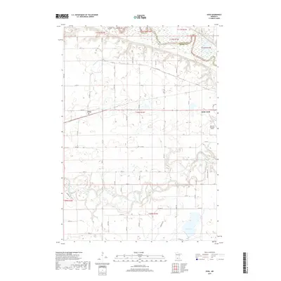
2019 Map of Essig
USGS Topo · Published 2019About this map
The Minnesota River snakes along the northern boundary of this Brown County landscape, defining the border with Nicollet County. This riparian corridor gives way to the agricultural heartland centered on the unincorporated settlement of Essig, positioned along the junction of Co Hwy 14 and Co Hwy 11. The map captures the industrial and logistical edges of New Ulm to the east, specifically the New Ulm Municipal Airport and the expanding road network of Behrens Blvd. To the south, the meandering Cottonwood River carves a distinct valley through the prairie, eventually flowing toward Clear Lake. This 2019 survey illustrates the persistent importance of water management in the region, evidenced by the extensive County Ditch Number Fiftyone system that drains the agricultural tracts between the two river systems.
Find a feature on this map
47 named features on this map. Tap any name to fly to it.
Don’t see what you’re looking for? This feature index may not catch every label — zoom into the map to look around manually.
Map Details
Editions of this 2019 Essig Map
This is the sole edition of this map. No revisions or reprints were ever made.
Other maps of this area
1953 · New Ulm
USGS Topo · 1:250,000
1957 · New Ulm
USGS Topo · 1:250,000
1958 · New Ulm
USGS Topo · 1:250,000
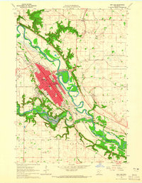
1964 · New Ulm
USGS Topo · 1:24,000
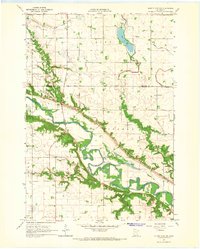
1964 · Sleepy Eye NW
USGS Topo · 1:24,000
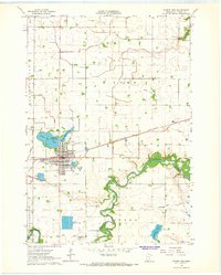
1964 · Sleepy Eye
USGS Topo · 1:24,000
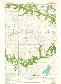
1964 · Essig
USGS Topo · 1:24,000
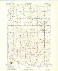
1964 · Lafayette
USGS Topo · 1:24,000
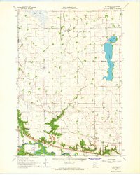
1964 · St George
USGS Topo · 1:24,000
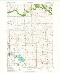
1965 · Hanska
USGS Topo · 1:24,000