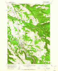
1961 Map of Estacada
USGS Topo · Published 1961About this map
The Clackamas River serves as the industrial heart of this mid-century landscape, driving power generation through the River Mill Powerhouse and Cazadero Powerhouse near Faraday. This corridor reflects a transition in transportation, marked by the clearly labeled Portland Traction Co (Abandoned) line, which once connected this timber and agricultural region to the broader Portland market. The city of Estacada centers the map, supported by the Union High Sch and nearby rural communities like Garfield and Springwater. Beyond the river valley, the terrain rises toward Squaw Mtn and Douglass Ridge, where Eagle Fern Park and various camps indicate the area's role as a recreational gateway. Local genealogy is well-represented by several burial grounds, including Forrester Cem and Mt Zion Cem, along with numerous family-named roads that trace early property boundaries.
Find a feature on this map
61 named features on this map. Tap any name to fly to it.
Don’t see what you’re looking for? This feature index may not catch every label — zoom into the map to look around manually.
Map Details
Editions of this 1961 Estacada Map
4 editions found
Other maps of this area

1911 · Boring
USGS Topo · 1:48,000

1914 · Boring
USGS Topo · 1:62,500

1916 · Estacada
USGS Topo · 1:125,000

1940 · Boring
USGS Topo · 1:62,500

1948 · Vancouver
USGS Topo · 1:250,000

1950 · Vancouver
USGS Topo · 1:250,000

1950 · Vancouver
USGS Topo · 1:250,000
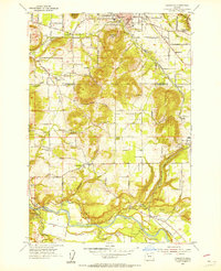
1954 · Damascus
USGS Topo · 1:24,000
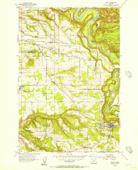
1954 · Sandy
USGS Topo · 1:24,000
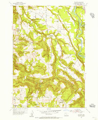
1954 · Redland
USGS Topo · 1:24,000