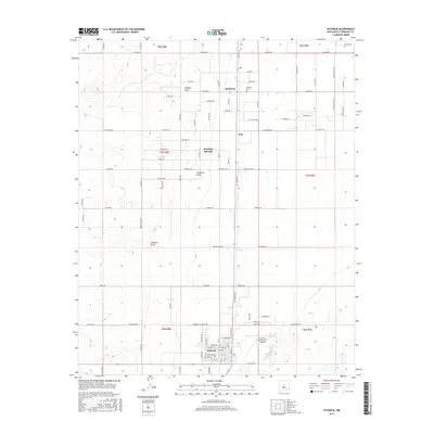
2017 Map of Estancia
USGS Topo · Published 2017About this map
Estancia serves as the focal point of this high-desert basin, where the grid of the town site contrasts with the sprawling agricultural and ranching allotments of the Estancia Valley. The area's reliance on intermittent water sources is evident in the presence of Estancia Spring and Estancia Park Lake, while the surrounding landscape is carved by seasonal drainages such as Milbourn Draw, Compton Draw, and Cienega Draw.
Find a feature on this map
95 named features on this map. Tap any name to fly to it.
Don’t see what you’re looking for? This feature index may not catch every label — zoom into the map to look around manually.
Map Details
Editions of this 2017 Estancia Map
This is the sole edition of this map. No revisions or reprints were ever made.
Other maps of this area

1917 · Estancia
USGS Topo · 1:125,000

1954 · Chilili
USGS Topo · 1:24,000

1954 · Milbourn Ranch
USGS Topo · 1:24,000

1954 · Fort Sumner
USGS Topo · 1:250,000

1954 · Socorro
USGS Topo · 1:250,000

1956 · Estancia
USGS Topo · 1:62,500

1956 · Mountainair
USGS Topo · 1:62,500

1958 · Socorro
USGS Topo · 1:250,000

1958 · Fort Sumner
USGS Topo · 1:250,000

1960 · Lobo Hill
USGS Topo · 1:62,500