1992 Map of Esterbrook
USGS Topo · Published 1996About this map
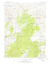
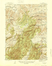
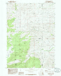
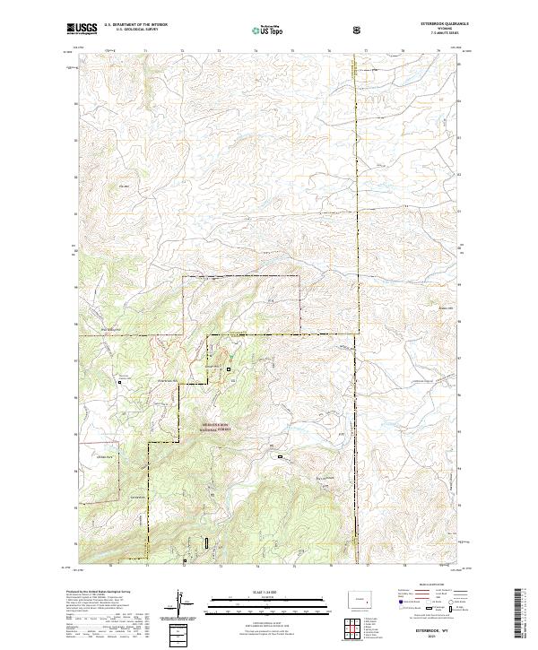
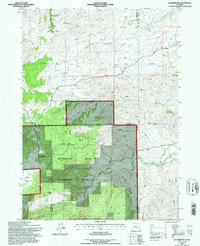
The settlement of Esterbrook sits within the high-elevation terrain of the Medicine Bow National Forest, serving as a focal point for this 1992 survey at the intersection of Converse and Albany counties. The landscape is defined by its rugged topography, featuring prominent landmarks such as Elk Mountain, Sunset Hill, and Castle Rock. Water resources are central to the area's geography, with North Horseshoe Creek and Pollard Creek draining the mountain slopes alongside various unnamed Springs. Historically, the presence of several Mines and Prospects scattered throughout the northern sections, particularly near Prairie Dog Hill, suggests a legacy of resource extraction. The road network, including Glendo Road and Ridge Road, provides access through the timbered hills and to remote locations like Ullman Park, reflecting the region's balance of forestry, recreation, and small-scale mining activity at the end of the 20th century.
Find a feature on this map
30 named features on this map. Tap any name to fly to it.
Don’t see what you’re looking for? This feature index may not catch every label — zoom into the map to look around manually.
Map Details
Editions of this 1992 Esterbrook Map
This is the sole edition of this map. No revisions or reprints were ever made.
Historical Maps of Esterbrook Through Time
5 maps found