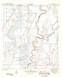
1945 Map of Estiffanulga
USGS Topo · Published 1945About this map
The Apalachicola River dictates the landscape of this 1945 survey, winding through the boundary between Calhoun and Liberty counties. The river’s path is marked by sharp meanders and named reaches like Muscogee Reach, with the adjacent lowlands dominated by an intricate network of sloughs and lakes, such as Ammonia Lake, Miller Lake, and Raccoon Slough. This environment supported a river-based economy and transit system, evidenced by numerous historical landings including Muscogee Landing, Mosquito Landing, and Gunn Landing.
Find a feature on this map
36 named features on this map. Tap any name to fly to it.
Don’t see what you’re looking for? This feature index may not catch every label — zoom into the map to look around manually.
Map Details
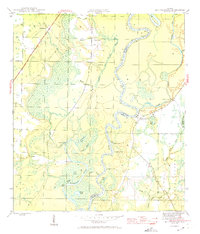
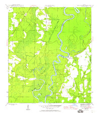
Editions of this 1945 Estiffanulga Map
4 editions found
Other maps of this area

1944 · Clarksville
USGS Topo · 1:31,680

1945 · Dead Lake
USGS Topo · 1:31,680

1945 · Blountstown
USGS Topo · 1:31,680

1945 · Clarksville
USGS Topo · 1:31,680

1945 · Estiffanulga
USGS Topo · 1:31,680

1945 · Orange
USGS Topo · 1:31,680

1945 · Bristol
USGS Topo · 1:31,680

1945 · Frink
USGS Topo · 1:31,680

1945 · Woods
USGS Topo · 1:31,680
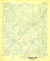
1946 · Wilma
USGS Topo · 1:31,680