
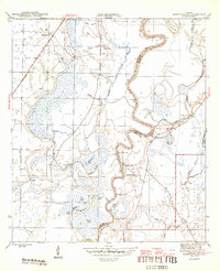
1945 Map of Estiffanulga
USGS Topo · Published 1945About this map
The Apalachicola River winds through a dense landscape of oxbow lakes, sloughs, and creek branches, defining the border between Calhoun and Liberty counties. In the mid-1940s, this riverine corridor was a place of strategic water access, marked by numerous named landings such as Shingle Landing, Muscogee Landing, and Gunn Landing. These points provided critical connections for local transport and industry between the winding river and the surrounding wetlands of the Johnson-Vining Swamp.
Find a feature on this map
37 named features on this map. Tap any name to fly to it.
Don’t see what you’re looking for? This feature index may not catch every label — zoom into the map to look around manually.
Map Details
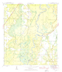
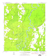
Editions of this 1945 Estiffanulga Map
4 editions found
Other maps of this area

1944 · Clarksville
USGS Topo · 1:31,680

1945 · Dead Lake
USGS Topo · 1:31,680

1945 · Blountstown
USGS Topo · 1:31,680

1945 · Clarksville
USGS Topo · 1:31,680

1945 · Orange
USGS Topo · 1:31,680

1945 · Bristol
USGS Topo · 1:31,680

1945 · Frink
USGS Topo · 1:31,680

1945 · Woods
USGS Topo · 1:31,680
1946 · Wilma
USGS Topo · 1:31,680

1954 · Tallahassee
USGS Topo · 1:250,000