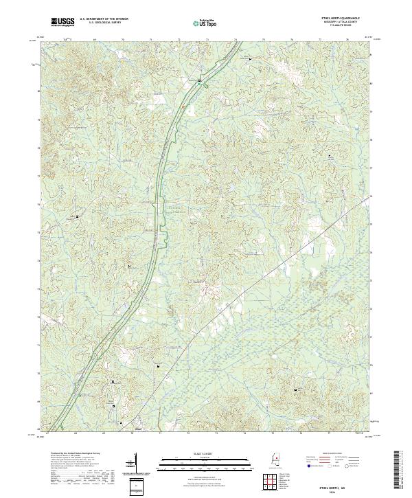
2024 Map of Ethel North
USGS Topo · Published 2024About this map
The Yockanookany River meanders across the southern half of this Attala County landscape, creating a broad basin of wetlands and small tributaries like Hurricane Creek and Ruth Branch. The northern terrain is defined by the sweeping curve of the Natchez Trace Parkway, which follows the high ground between Zilpha Creek and LeFlore Creek. This modern survey reveals a highly distributed rural settlement pattern where family history is anchored by numerous country cemeteries. Genealogy researchers will find significant value in the distribution of family landmarks such as Mount Zion Cem, White Plains Cem, and Liberty Hill Cem. Near the southern edge, the small community of Ethel serves as a local hub, while the old corridor of Old Trace Rd offers a physical connection to the historic travel routes of central Mississippi.
Find a feature on this map
71 named features on this map. Tap any name to fly to it.
Don’t see what you’re looking for? This feature index may not catch every label — zoom into the map to look around manually.
Map Details
Editions of this 2024 Ethel North Map
This is the sole edition of this map. No revisions or reprints were ever made.
Other maps of this area

1953 · West Point
USGS Topo · 1:250,000

1958 · West Point
USGS Topo · 1:250,000

1963 · West Point
USGS Topo · 1:250,000

1964 · Kosciusko NE
USGS Topo · 1:24,000

1964 · Kosciusko
USGS Topo · 1:24,000

1966 · Poplar Creek
USGS Topo · 1:24,000

1966 · Kosciusko
USGS Topo · 1:62,500

1966 · Weir
USGS Topo · 1:24,000

1966 · French Camp
USGS Topo · 1:24,000

1968 · Weir
USGS Topo · 1:62,500