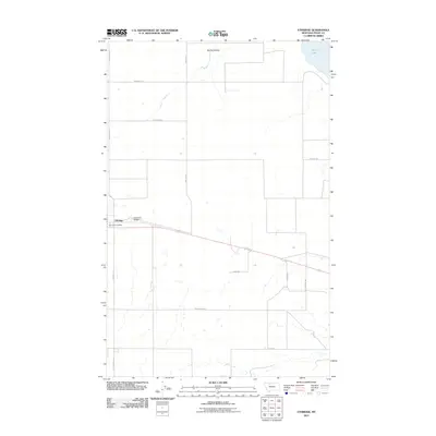
2011 Map of Ethridge
USGS Topo · Published 2011About this map
Ethridge serves as the primary hub for this Toole County landscape, where the grain-growing plains of northern Montana are defined by a grid of rural routes. The settlement is anchored by the Ethridge Post Office and the nearby Torgerson Airport, reflecting the region's reliance on both aviation and postal connectivity in an expansive environment. The drainage of Spring Coulee and the waters of Aloe Lake provide the few natural deviations in a terrain otherwise partitioned by a network of family-named roads such as Skryja Rd, Wiegand Rd, and Hallenberg Rd. These roads suggest a long history of agricultural family landholdings, marking the township boundaries and section lines that have shaped the local economy since homesteading began in the Hi-Line region.
Find a feature on this map
14 named features on this map. Tap any name to fly to it.
Don’t see what you’re looking for? This feature index may not catch every label — zoom into the map to look around manually.
Map Details
Editions of this 2011 Ethridge Map
This is the sole edition of this map. No revisions or reprints were ever made.
Other maps of this area

1909 · Cut Bank
USGS Topo · 1:125,000

1912 · Cut Bank
USGS Topo · 1:125,000

1920 · Dupuyer
USGS Topo · 1:125,000

1920 · Conrad
USGS Topo · 1:125,000

1934 · Valier
USGS Topo · 1:62,500

1937 · Valier
USGS Topo · 1:62,500

1943 · Shelby
USGS Topo · 1:62,500

1954 · Shelby
USGS Topo · 1:250,000

1958 · Shelby
USGS Topo · 1:250,000

1960 · Cut Bank
USGS Topo · 1:250,000