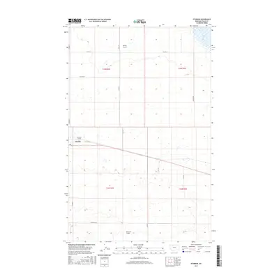
2017 Map of Ethridge
USGS Topo · Published 2017About this map
Ethridge sits along the transit corridor of Old US Hwy 2 in this Toole County landscape, where the high plains are marked by a network of drainage features and seasonal water. The community is anchored by the Torgerson Airport and surrounded by large-scale agricultural blocks defined by the Public Land Survey System, including townships t33n r4w and t32n r3w. The topography is characterized by subtle depressions and glacial remnants, most notably Aloe Lake in the northeast and the winding paths of Spring Coulee and Reservoir Coulee. This 2017 survey details the rural road network, which often bears family names such as Wiegand Rd, Skryja Rd, and Hjartarson Rd, reflecting the generational landholdings that define this portion of the Montana prairie.
Find a feature on this map
19 named features on this map. Tap any name to fly to it.
Don’t see what you’re looking for? This feature index may not catch every label — zoom into the map to look around manually.
Map Details
Editions of this 2017 Ethridge Map
This is the sole edition of this map. No revisions or reprints were ever made.
Other maps of this area

1909 · Cut Bank
USGS Topo · 1:125,000

1912 · Cut Bank
USGS Topo · 1:125,000

1920 · Dupuyer
USGS Topo · 1:125,000

1920 · Conrad
USGS Topo · 1:125,000

1934 · Valier
USGS Topo · 1:62,500

1937 · Valier
USGS Topo · 1:62,500

1943 · Shelby
USGS Topo · 1:62,500

1954 · Shelby
USGS Topo · 1:250,000

1958 · Shelby
USGS Topo · 1:250,000

1960 · Cut Bank
USGS Topo · 1:250,000