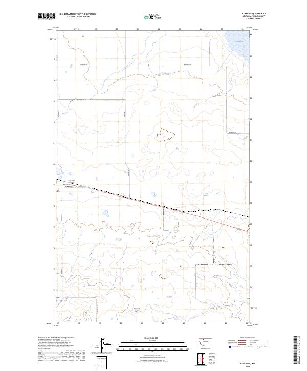
2024 Map of Ethridge
USGS Topo · Published 2024About this map
Ethridge serves as the central hub of this northern Montana landscape, situated along the path of Old US Hwy 2. The settlement is marked by its local Po and the nearby Torgerson Airport, reflecting the aviation and transportation needs of this wide-open high plains region. The surrounding terrain is defined by natural drainage patterns including Spring Coulee and Reservoir Coulee, which cut through the agricultural sections of Toole County.
Find a feature on this map
19 named features on this map. Tap any name to fly to it.
Don’t see what you’re looking for? This feature index may not catch every label — zoom into the map to look around manually.
Map Details
Editions of this 2024 Ethridge Map
This is the sole edition of this map. No revisions or reprints were ever made.
Other maps of this area

1909 · Cut Bank
USGS Topo · 1:125,000

1912 · Cut Bank
USGS Topo · 1:125,000

1920 · Dupuyer
USGS Topo · 1:125,000

1920 · Conrad
USGS Topo · 1:125,000

1934 · Valier
USGS Topo · 1:62,500

1937 · Valier
USGS Topo · 1:62,500

1943 · Shelby
USGS Topo · 1:62,500

1954 · Shelby
USGS Topo · 1:250,000

1958 · Shelby
USGS Topo · 1:250,000

1960 · Cut Bank
USGS Topo · 1:250,000