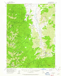
1955 Map of Etna
USGS Topo · Published 1963About this map
Etna sits as the central hub of this mid-century survey, positioned where the Scott Valley floor meets the rising timber of the Klamath National Forest. The map documents a landscape of working ranches and transition, evidenced by the Deacon Lee Place and the Douglas School, which is noted as abandoned by the time of the 1955 field check. To the west, the Ruffey Indian Reservation and the high alpine terrain around Etna Mtn define the wilderness boundary.
Find a feature on this map
104 named features on this map. Tap any name to fly to it.
Don’t see what you’re looking for? This feature index may not catch every label — zoom into the map to look around manually.
Map Details
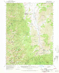
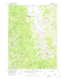
Editions of this 1955 Etna Map
4 editions found

Other maps of this area

1886 · Shasta
USGS Topo · 1:250,000

1894 · Shasta
USGS Topo · 1:250,000

1914 · Seiad
USGS Topo · 1:125,000

1922 · Seiad
USGS Topo · 1:125,000

1923 · Sawyers Bar
USGS Topo · 1:125,000

1931 · Etna
USGS Topo · 1:96,000

1932 · Yreka
USGS Topo · 1:96,000

1934 · Etna
USGS Topo · 1:125,000

1939 · Yreka
USGS Topo · 1:125,000

1948 · Weed
USGS Topo · 1:250,000