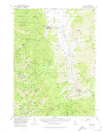
1955 Map of Etna
USGS Topo · Published 1980About this map
Etna sits at the northern edge of the Scott Valley, serving as a central hub where the valley floor meets the high peaks of the Marble Mountains and Salmon Mountains. This mid-century survey captures a landscape defined by its transition from agricultural valley life to high-altitude resource extraction and forest management. To the south, the settlement of Callahan and the nearby Callahan Camp mark a historic crossroads at the headwaters of the Scott River.
Find a feature on this map
122 named features on this map. Tap any name to fly to it.
Don’t see what you’re looking for? This feature index may not catch every label — zoom into the map to look around manually.
Map Details
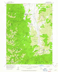
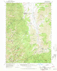
Editions of this 1955 Etna Map
4 editions found

Other maps of this area

1886 · Shasta
USGS Topo · 1:250,000

1894 · Shasta
USGS Topo · 1:250,000

1914 · Seiad
USGS Topo · 1:125,000

1922 · Seiad
USGS Topo · 1:125,000

1923 · Sawyers Bar
USGS Topo · 1:125,000

1931 · Etna
USGS Topo · 1:96,000

1932 · Yreka
USGS Topo · 1:96,000

1934 · Etna
USGS Topo · 1:125,000

1939 · Yreka
USGS Topo · 1:125,000

1948 · Weed
USGS Topo · 1:250,000