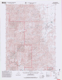
2001 Map of Etna
USGS Topo · Published 2004About this map
Etna sits at the foot of the Salmon Mountains, serving as a gateway between the valley floor and the high peaks of the Klamath National Forest. At the start of the 21st century, the town shows a developed infrastructure including an aqueduct, sewage disposal ponds, and a mobile home park near Johnson Creek. To the west, the landscape rises sharply toward Etna Mountain, where remote high-altitude features like Meeks Meadow Lake and Ruffey Lake define the terrain.
Find a feature on this map
40 named features on this map. Tap any name to fly to it.
Don’t see what you’re looking for? This feature index may not catch every label — zoom into the map to look around manually.
Map Details
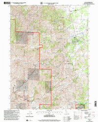
Editions of this 2001 Etna Map
2 editions found
Other maps of this area

1886 · Shasta
USGS Topo · 1:250,000

1894 · Shasta
USGS Topo · 1:250,000

1914 · Seiad
USGS Topo · 1:125,000

1922 · Seiad
USGS Topo · 1:125,000

1923 · Sawyers Bar
USGS Topo · 1:125,000

1931 · Etna
USGS Topo · 1:96,000

1932 · Yreka
USGS Topo · 1:96,000

1934 · Etna
USGS Topo · 1:125,000

1939 · Yreka
USGS Topo · 1:125,000

1948 · Weed
USGS Topo · 1:250,000