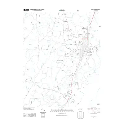
2013 Map of Etowah
USGS Topo · Published 2013About this map
The railroad town of Etowah serves as the focal point of this 2013 survey, showcasing the dense street grid and residential expansions into North Etowah and East Etowah. Situated along the Highway 411 corridor, the area is characterized by a high concentration of named springs and small rural communities that speak to the region's agricultural and groundwater history. From the Midway Drive-In in the north to the industrial presence at Delano, the map documents a landscape where traditional small settlements like Goodsprings and Carlock persist alongside newer developments like Seven Cedars. The drainage patterns of Chestuee Creek and Cane Creek define the lowlands between Little Mountain and Fox Knob, while numerous named branches and springs, such as Dodd Spring and Fowler Spring, illustrate the intricate hydrology that has sustained McMinn County homesteads for generations.
Find a feature on this map
213 named features on this map. Tap any name to fly to it.
Don’t see what you’re looking for? This feature index may not catch every label — zoom into the map to look around manually.
Map Details
Editions of this 2013 Etowah Map
This is the sole edition of this map. No revisions or reprints were ever made.
Other maps of this area

1886 · Cleveland
USGS Topo · 1:125,000

1892 · Cleveland
USGS Topo · 1:125,000

1893 · Murphy
USGS Topo · 1:125,000

1895 · Cleveland
USGS Topo · 1:125,000

1901 · Cleveland
USGS Topo · 1:125,000

1914 · Murphy
USGS Topo · 1:125,000

1934 · Mecca
USGS Topo · 1:24,000

1934 · Englewood
USGS Topo · 1:24,000

1935 · Tellico
USGS Topo · 1:48,000

1935 · Calhoun
USGS Topo · 1:24,000