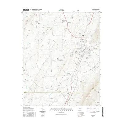
2016 Map of Etowah
USGS Topo · Published 2016About this map
Etowah serves as the primary hub of this eastern Tennessee landscape, where the long-standing influence of the L and N RR defines the town's geometry and orientation. The map reveals a dense network of rural communities such as Wesleyanna, Piney Grove, and Carlock, each anchored by historical institutions like the New Zion Baptist Church and several family-named burial grounds. To the south, the industrial and agricultural character of the land is highlighted by the Delano Mill Pond and the small settlement of Delano.
Find a feature on this map
212 named features on this map. Tap any name to fly to it.
Don’t see what you’re looking for? This feature index may not catch every label — zoom into the map to look around manually.
Map Details
Editions of this 2016 Etowah Map
This is the sole edition of this map. No revisions or reprints were ever made.
Other maps of this area

1886 · Cleveland
USGS Topo · 1:125,000

1892 · Cleveland
USGS Topo · 1:125,000

1893 · Murphy
USGS Topo · 1:125,000

1895 · Cleveland
USGS Topo · 1:125,000

1901 · Cleveland
USGS Topo · 1:125,000

1914 · Murphy
USGS Topo · 1:125,000

1934 · Mecca
USGS Topo · 1:24,000

1934 · Englewood
USGS Topo · 1:24,000

1935 · Tellico
USGS Topo · 1:48,000

1935 · Calhoun
USGS Topo · 1:24,000