2022 Map of Ettrick
USGS Topo · Published 2022About this map
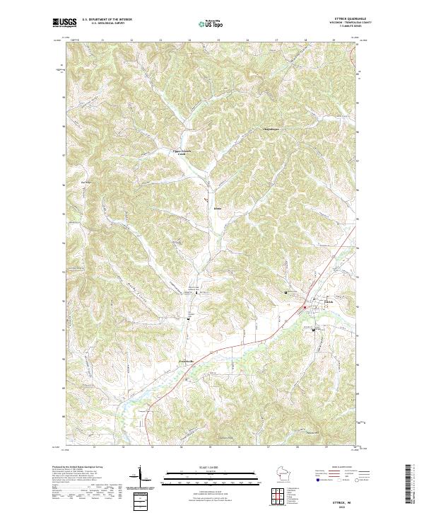
Ettrick sits at the convergence of several coulees and creek branches in this 2022 survey, reflecting the deep-cut topography of Trempealeau County. The village serves as a central hub for the surrounding rural valleys, where settlements like Frenchville, Iduna, and Chapultepee are tied together by a network of county roads following the low ground. The map reveals a high concentration of sites important for local genealogy, including the French Creek Lutheran Cem, Vor Frelsers Cem, and Saint Bridget Cem, often located near the historical parish centers that anchored these farming communities.
Find a feature on this map
93 named features on this map. Tap any name to fly to it.
Don’t see what you’re looking for? This feature index may not catch every label — zoom into the map to look around manually.
Map Details
Editions of this 2022 Ettrick Map
This is the sole edition of this map. No revisions or reprints were ever made.